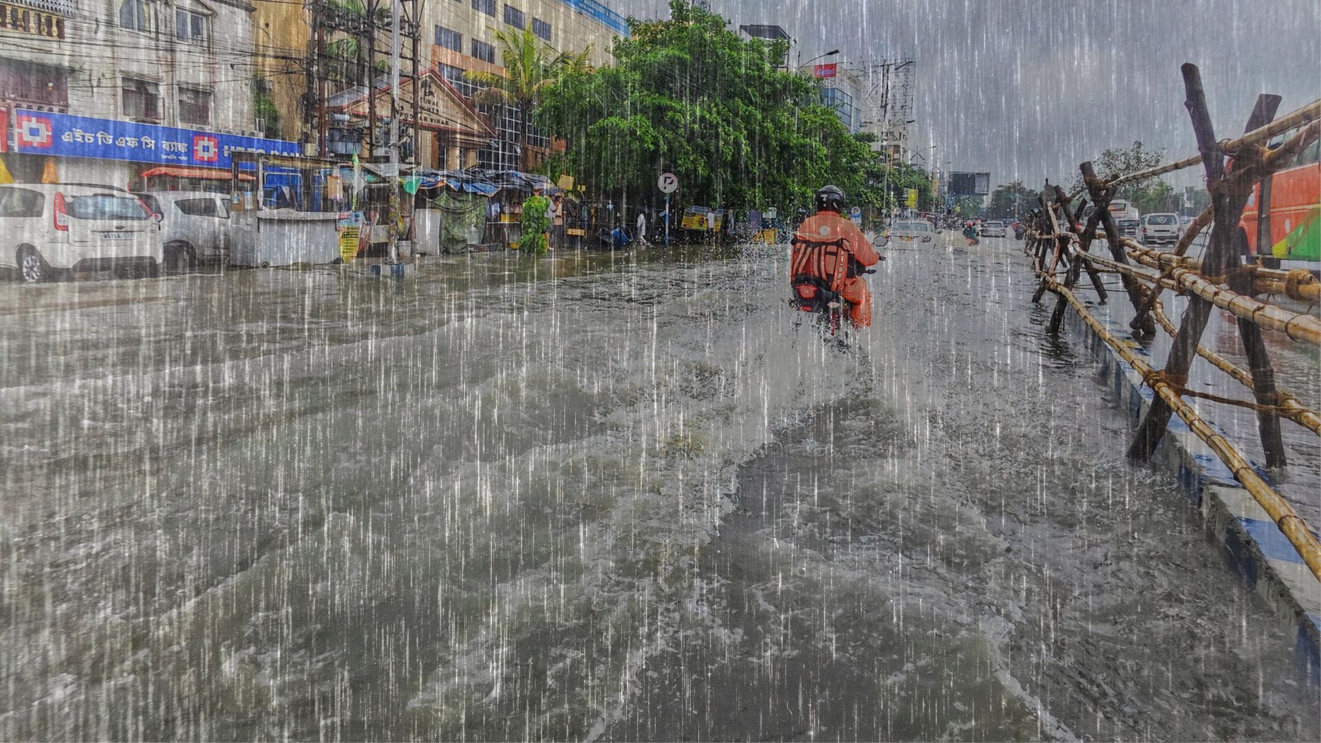
Climate change is fundamentally altering the rainfall patterns of India’s Upper Bhima River Basin, making vital pre- and post-monsoon seasons highly unpredictable while simultaneously increasing the intensity of the main summer monsoon. A new study by researchers from Savitribai Phule Pune University and the University of Tokyo analysed 31 years of daily weather data to map these dramatic shifts. By examining records from 1991 to 2021, the scientific team discovered a growing geographical divide. Regions near the river’s source and areas like Kalburgi are experiencing significantly more rain, while the Solapur district is facing a steady, alarming decline. This creates a complex challenge for a region that is home to millions of people, expansive sugarcane farms, and over 40% of the dams in the broader Krishna River basin.
The researchers relied on daily gridded rainfall data provided by the India Meteorological Department. Because rainfall can vary wildly from year to year, with extreme droughts sometimes followed by massive floods, simple averages do not tell the whole story. Instead, the team used statistical tools designed to cut through the noise. They calculated the Coefficient of Variation to measure exactly how wildly precipitation fluctuated month by month. To detect long-term, continuous shifts without being skewed by a single freak storm, they applied the Mann-Kendall test. This mathematical formula is widely used in climate science because it reliably identifies steady upward or downward trends, even when weather data is naturally messy and contains extreme outliers.
These shifting patterns are driven by a complex mix of global warming, local mountainous topography, and changing ocean temperatures. As the planet warms, the behaviour of moisture-carrying winds from the Arabian Sea is changing. Interestingly, the researchers found a link between the different seasons. Their data revealed that hotter, thermally driven pre-monsoon showers help to precondition the land and atmosphere, creating a low-pressure system that actually helps pull in stronger monsoon rains later in the summer. Conversely, the increasingly erratic nature of post-monsoon rainfall is tied to shifting cyclonic storms and the delayed, unpredictable withdrawal of the monsoon itself.
The study improves upon previous hydrological studies by combining multiple robust statistical methods to create a highly detailed, localised map of a single, heavily strained river basin. It specifically tracks how rainfall in one season mathematically influences the next, providing a much clearer picture of the region's interconnected climate dynamics. However, the researchers noted that natural rainfall in this region is inherently chaotic, and standard linear regression models struggled to explain the variance, yielding very low correlation values for individual months. Furthermore, while the statistical tests suggested a slight recovery in late-season rainfall in December, the authors acknowledged that further long-term investigation is required to confidently confirm this trend.
The Upper Bhima Basin is under immense strain from rapid urbanisation, religious tourism, and water-thirsty agriculture. By knowing exactly which local districts are drying up and which seasons are becoming unstable, local governments and farmers can adapt before disaster strikes. These findings allow policymakers to strategically plan where to build rainwater harvesting infrastructure, how to manage reservoir storage during erratic dry spells, and exactly when farmers should switch to drought-resistant crops, ensuring long-term food and water security.



