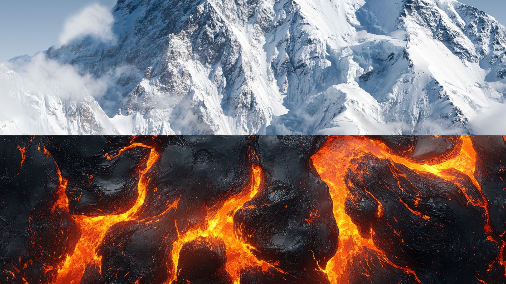
A new study has discovered a massive underground highway of magma connecting two of the most famous hot spring regions in the Himalayas. By peering miles into the Earth’s crust, researchers from India’s CSIR-National Geophysical Research Institute and the Academy of Scientific and Innovative Research (AcSIR), have revealed that the Puga and Chumathang geothermal fields are not isolated, but are likely fed by the same deep heat source. The study confirms that the boiling geysers and steaming mud pools of these two valleys, located about 15 kilometres apart, are part of a unified, high-energy geothermal system that has remained hidden until now.
To investigate what is happening nearly eight kilometres beneath the surface, the team used a technique called magnetotellurics, or MT, which works on the principle that different materials conduct electricity differently. By measuring the Earth’s natural electromagnetic fields at the surface, the team could map the electrical resistivity of the ground below. Magma and hot, mineral-rich fluids are highly conductive, meaning they allow electricity to flow readily. In contrast, solid, cold rock acts like an insulator and resists the flow of electricity. By setting up 62 different sensing sites across the rugged, high-altitude terrain, the team collected data that was then processed through a 3D computer modelling to create a three-dimensional architectural map of the Earth’s crust.
Their study showed a significant zone of high conductivity roughly four to eight kilometres deep. Geologically, this represents secondary magma, which are pockets of partially molten rock formed by the immense pressure of the Indian and Eurasian tectonic plates colliding. This molten material, which scientists estimate is about 15% liquid melt mixed with water, acts like a giant subterranean boiler. It heats ancient water that seeps down from the surrounding mountains, which then surges back to the surface as boiling springs and geysers driven by geothermal buoyancy.
The data also highlighted the role of the Kaigar Tso fault, a major fracture in the Earth that functions like a plumbing system, guiding these hot fluids from the deep magma up into the Puga Valley. The 3D model also allowed the researchers to see that the heat sources for Puga and Chumathang are likely a single, continuous cooling pluton, a large body of igneous rock, rather than two separate, smaller pockets.
The researchers, however, noted that although their electrical mapping is highly accurate, they lack site-specific chemical and mineralogical data from certain depths. Having this data would have allowed them to more accurately model how the rock melts under the extreme temperatures and pressures of the Himalayan collision zone.
Understanding the natural plumbing and heating systems of the Himalayas could help local communities in remote, high-altitude regions find sustainable ways to heat their homes and power their lives using the heat that lies beneath. Furthermore, the study also provides a look at the complex magma channels and networks that are formed by the movement of the tectonic plates, offering a glimpse at the forces powering the ever-shifting land beneath our feet.



