Researchers from India and Sweden have developed a new, cost-effective digital tool to monitor the health of vital coastal defences, such as seawalls and groynes. Piloted during the heavy monsoon season of August 2022 along the 593-kilometre coastline of Kerala, this mobile framework allows field workers to track crumbling infrastructure using just a smartphone app and a handheld GPS. The system was developed by researchers from the National Centre for Coastal Research (NCCR), Ministry of Earth Sciences, Government of India, and Karlstad University, Sweden. It is designed to give local governments a real-time, accurate picture of shoreline vulnerabilities, enabling them to better protect coastal communities from rising seas and severe storms.
The research team based their tool on Geographic Information Systems (GIS), which capture and analyze spatial and geographic data. They built a custom survey on the open-source platform KoboToolbox to examine the defence structures. As surveyors walked the beaches, the app guided them through a strict, step-by-step checklist to categorise structures as intact, partially damaged, or totally disintegrated. To measure how well the defences were actually working, surveyors recorded the beach width, which acts as a scientific proxy revealing whether a seawall or groin is successfully trapping sand and stopping erosion. Every entry was permanently tagged with exact GPS coordinates and high-resolution photographs, which were then beamed to a central server. This allowed the team to monitor the data in real-time, instantly catching errors and combining the points into a massive digital map of the coast.
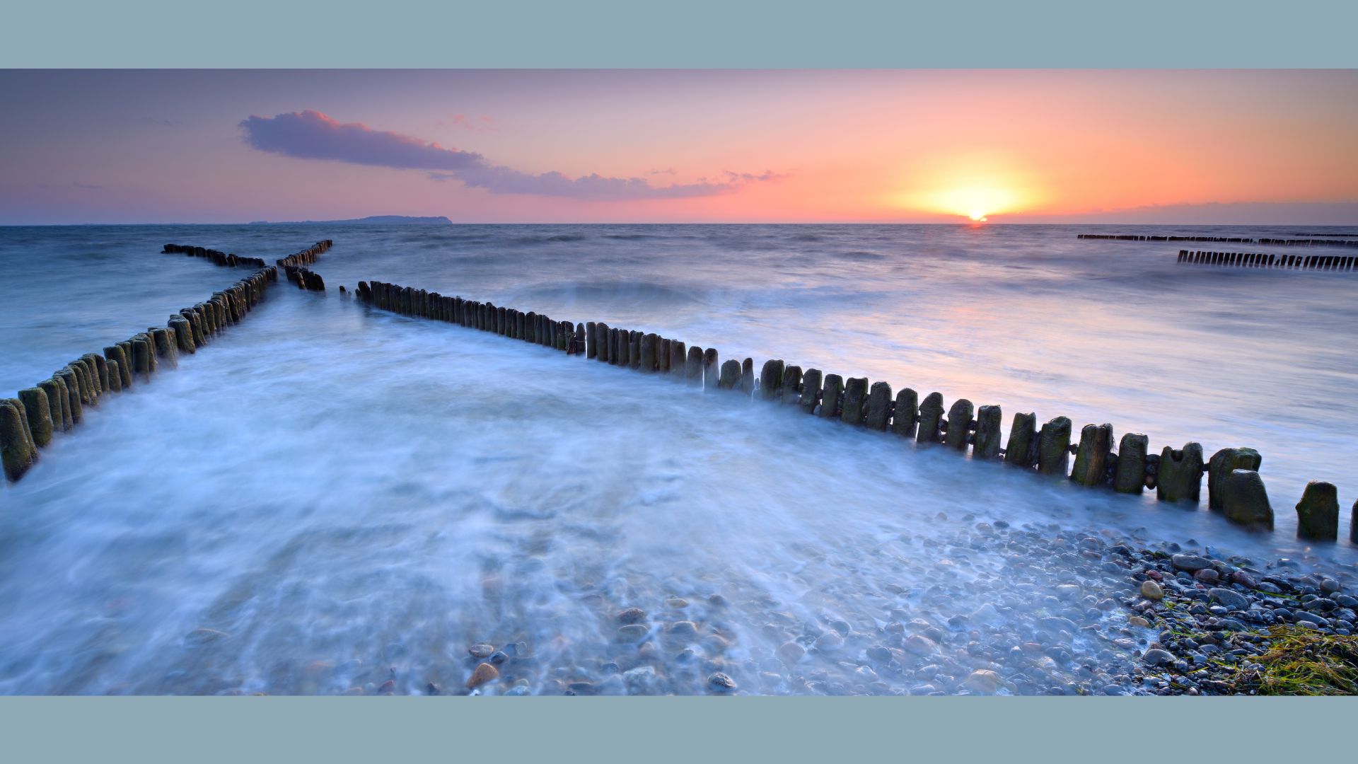
The survey mapped over 330 kilometres of seawalls and 459 individual groynes, which are rigid structures built perpendicular to the shore to trap sand, capturing roughly twenty gigabytes of photos and video. The findings showed the scale of the region's battle against the ocean. It shows that a quarter of the surveyed seawalls were completely disintegrated, while nearly half were partially damaged.
While modern alternatives like high-tech satellite imagery and drone photography offer incredible detail, they are incredibly expensive, require highly trained pilots, and are often foiled by the thick cloud cover typical of tropical environments. Relying on citizen science, where locals submit photos, often lacks the scientific rigour and strict spatial accuracy needed for official planning. By strictly forcing users to select from pre-coded options and taking compulsory photos, this new mobile framework hits a pragmatic middle ground, offering standardised, highly reliable data at a fraction of the cost of aerial drones.
However, the researchers are careful to note that their system depends on standard mobile devices and handheld GPS units, limiting its spatial accuracy to about 5 metres. This makes it perfect for general mapping and condition checking, but it cannot replace the pinpoint, millimetre-level precision of heavy surveying equipment or laser-scanning drones. Furthermore, while the app’s logic significantly reduces human error, surveying tight, obstructed areas can cause temporary GPS signal drops, and slight inconsistencies can still occur when different observers interpret structural damage.
Nonetheless, the research offers a scalable blueprint for society as it faces the looming threat of climate change. By providing a cheap, repeatable, and user-friendly way to map shoreline infrastructure, this tool allows resource-strapped local governments to pinpoint exactly which seawalls need urgent repair before the next major storm hits. By adopting a data-driven approach, coastal authorities can better direct their limited funds to protect vital infrastructure, bustling ports, and the millions of people who call the world's vulnerable coastlines home.



