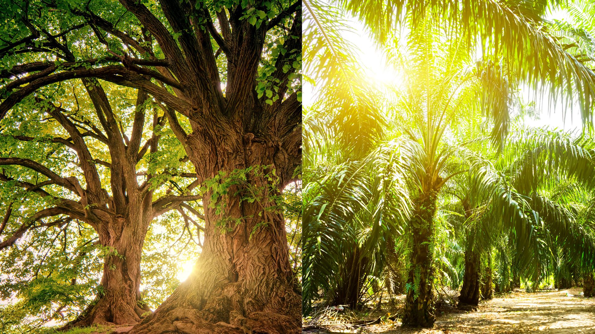
India's forests appear to be thriving on paper, but a new study shows that the gains are coming at an environmental cost to native woodlands. Researchers from the University of Manchester, UK, Humboldt-University, Germany, and the Indian School of Business, Hyderabad, used high-resolution satellite imagery to map India's tropical dry woodlands. They discovered that while the country gained new tree cover, it simultaneously lost established woodlands. Crucially, the bulk of this deforestation occurred within government-protected lands where native, biodiversity-rich forests thrive, while the gains were largely found outside these areas.
The research team analysed images captured between 2014 and 2024 by the American Landsat 8 satellite, which orbits Earth and provides detailed surface imagery at 30-metre resolution. Because the appearance of dry woodlands can change drastically depending on rainfall, they trained a machine learning algorithm, a Random Forest classifier, to recognise the unique visual signatures of these forests under various climate conditions. Using Google Earth Engine to process the massive amounts of data, they compared images from the beginning and end of the decade to pinpoint exactly where trees had vanished and where new ones had sprouted.
The study highlights a curious pattern of deforestation and reforestation that is often masked in our national statistics. The researchers found that while the new tree cover increased by over two million hectares, nearly 300,000 hectares of native woodlands disappeared. By focusing on specific regions, the team found that states like Chhattisgarh and Odisha experienced significant native woodland loss. Meanwhile, the boom in new trees outside government lands was primarily fuelled by large-scale timber and tree-crop plantations, such as coconut and palm oil, in states like Gujarat and Andhra Pradesh. This means that instead of restoring natural ecosystems, many of the country's new green spaces are essentially commercial farms.
Woodlands are notoriously difficult to monitor because their open canopies and varying tree heights could confuse standard satellite mapping tools. Previous global datasets, such as Global Forest Watch, significantly underestimated India's dry woodland extent, achieving accuracy rates as low as 71% in this region. By specifically tailoring their algorithm to the unique features of drylands and checking their maps against high-resolution Google Earth imagery, the researchers achieved an impressive accuracy rate of over 90%. This provides the first independent, reliable time series of these vital ecosystems.
However, the researchers noted that low classification accuracy in certain years, such as 2020 and 2021, made it difficult to produce reliable year-by-year maps of forest change. To work around this, they had to group the data into three-year windows at the start and end of the decade, providing a net estimate rather than tracking the exact year trees were lost or gained. Additionally, because the Indian government’s own forest data is aggregated to include all forest types and is not publicly available in a detailed spatial format, the researchers could not make direct, pixel-by-pixel comparisons with official national records.
The work provides a fuller picture of the status of tree conservation efforts in India. Tropical dry woodlands are home to incredible biodiversity, store vast amounts of carbon, and support millions of rural livelihoods. As countries around the world pledge to protect 30% of the planet's trees by 2030, this study shows that simply counting the number of trees planted is not enough. By distinguishing between true ecological restoration and commercial tree farming, this vital research empowers policymakers to design smarter conservation strategies, ensuring that society can hold governments accountable to their environmental promises and protect true natural habitats for generations to come.



